Warren Ward:
(970) 531 1120 ph.
wward8100@gmail.com
Welcome to Rocky Mountain Surveys, Inc.
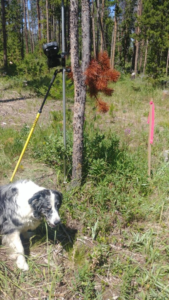
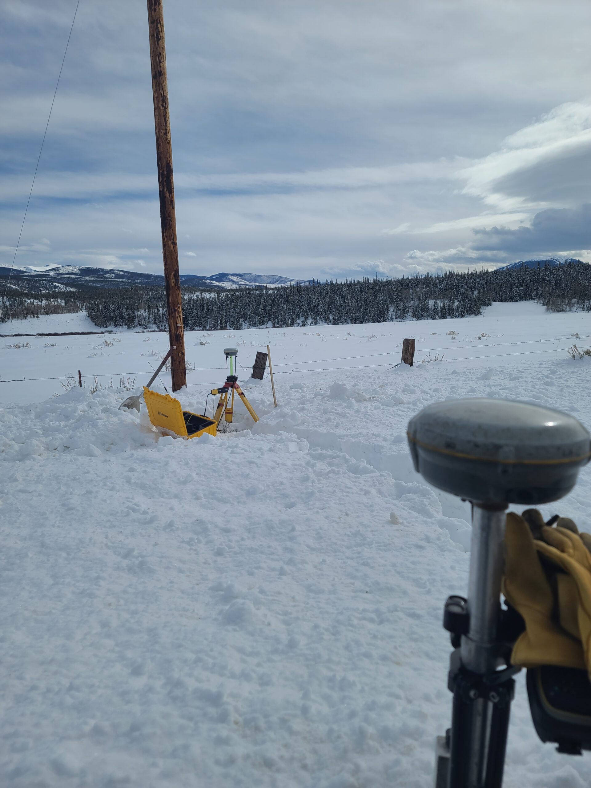
Rocky Mountain Surveys, Inc., has over 30 years of experience in Grand County property and construction surveying. Our specialty is PROPERTY DISPUTE RESOLUTION. We have significant experience in court testimony.
We are long-time members of The Professional Land Surveyors of Colorado, Inc. (PLSC) the Colorado state society founded in 1966.
We endorse PLSC’s Code of Ethics, and recommend the following brochure to landowners, developers or buyers: “When You Need A Land Survey”, which can be found, viewed and downloaded by clicking here
To view the Professional Land Surveyors of Colorado Website: click www.plsc.net

The American Land Title Association has determined a minimum standard for surveys nationwide and this checklist helps a buyer get a survey with known quantities rather than being subject to the local customs relating to survey content. A buyer of this type of survey knows exactly what they will receive because the ALTA checklist is very specific about what will and will not be included on the map and ground inspection of the property. This may include building heights, utilities within one thousand feet of the property, a vicinity map, setbacks, etc.
An ALTA survey will meet all the standards of an Improvement Survey Plat, and possibly more.
Subdivisions through town or county regulations are varied, but all include at least the Improvement Survey Plat standards as a basis for the map. Any subdivision map will include all boundary lines, improvements and easements, and may also include topographic features or hazards which may be relevant to potential buyers of the lots created.
A topographic map will show the contours of existing ground at a specified interval for an architect or engineer to design some new feature, such as a driveway, building, road, pond, etc. Typically, topo maps are drawn to a two foot interval between contours and the contours are shown relative to some corner or marker on the site but intervals of one foot and five feet are not uncommon. A benchmark placed by a government entity can be used instead, but usually costs more since most properties are far away from such benchmarks in Grand County. A benchmark is useful for flood information, but is usually not required.
A basic boundary survey that monuments the lot by finding or setting corners and comparing with neighboring property. Shows easements apparent on the ground, and recorded easements if a title policy or commitment is provided. Shows locations of above ground utilities and improvements within 5 feet of the lot line. Irrigation ditches and fences may be requested. A map must be prepared, & will describe any evidence used to determine the extent of the property. Client may request no easements are shown on the plat.
The next step up from a boundary survey, this survey includes all the features of a Land Survey Plat and includes improvements on or near the property as well.
A title policy or commitment is crucial to this survey as all easements of any type must be shown.


Frequently Asked Questions:
- What do I do when a surveyor places a new monument in the vicinity of an existing property corner monument?
- Why do surveyors set new property corner monuments in the vicinity of existing property corner monuments, when there is only one common property corner?
- A surveyor has set a new monument in the vicinity of an existing monument, and I am now more confused about my property lines than before. What does this mean to me?
These questions are valid questions and I have spent years of effort with the goal of reducing the occurrence of multiple monuments, with varying degrees of success.
I am committed to assisting any landowner or surveyor who has these questions. If you have any questions, please give me a call.
Warren D. Ward, PLS
970-531-1120 phone
800-725-2734 fax


For more information, please contact me.
(970) 726 7166 ph.
(800) 725 2734 fax
Warren Ward:
(970) 531 1120 ph.
wward8100@gmail.com
Mailing Address:
P.O. Box 552
Winter Park, CO 80482